At 5 a.m., I got up to make breakfast. The temperature was about 45 degrees — cool enough for a sweater, a jacket, and a warm hat. After eating breakfast and packing up, I spent some time looking at the huge mistletoes growing on a nearby oak tree. Two of them must have been more than fifteen feet long, huge dark masses hanging among the branches of the oak.
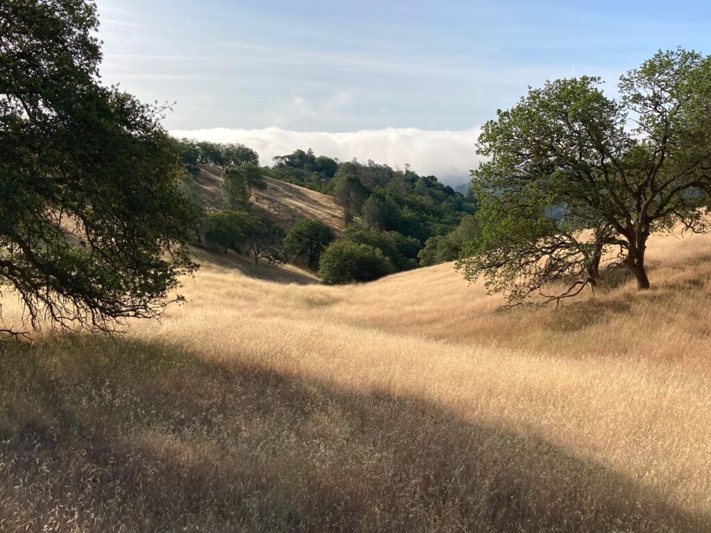
I started hiking at 6:25, climbing up and then turning right to hike down the Middle Ridge Trail. In about three quarters of an hour, I passed the junction with Fish Trail, then went up a little knob through a stand of Bigberry Manzanita (Arctostaphylos glauca). The dramatic contrast between the rich green leaves and dark-red twisted trunks of the manzanitas was quite beautiful. More visual drama was to come. As the trail wound down Middle Ridge, every so often I’d catch sight of a huge bank of white fog filling the valleys beyond Poverty Flats.

Walking through such a landscape didn’t leave much room for other thoughts, which was fine with me. I looked at flowers, and walked, and that’s about it.
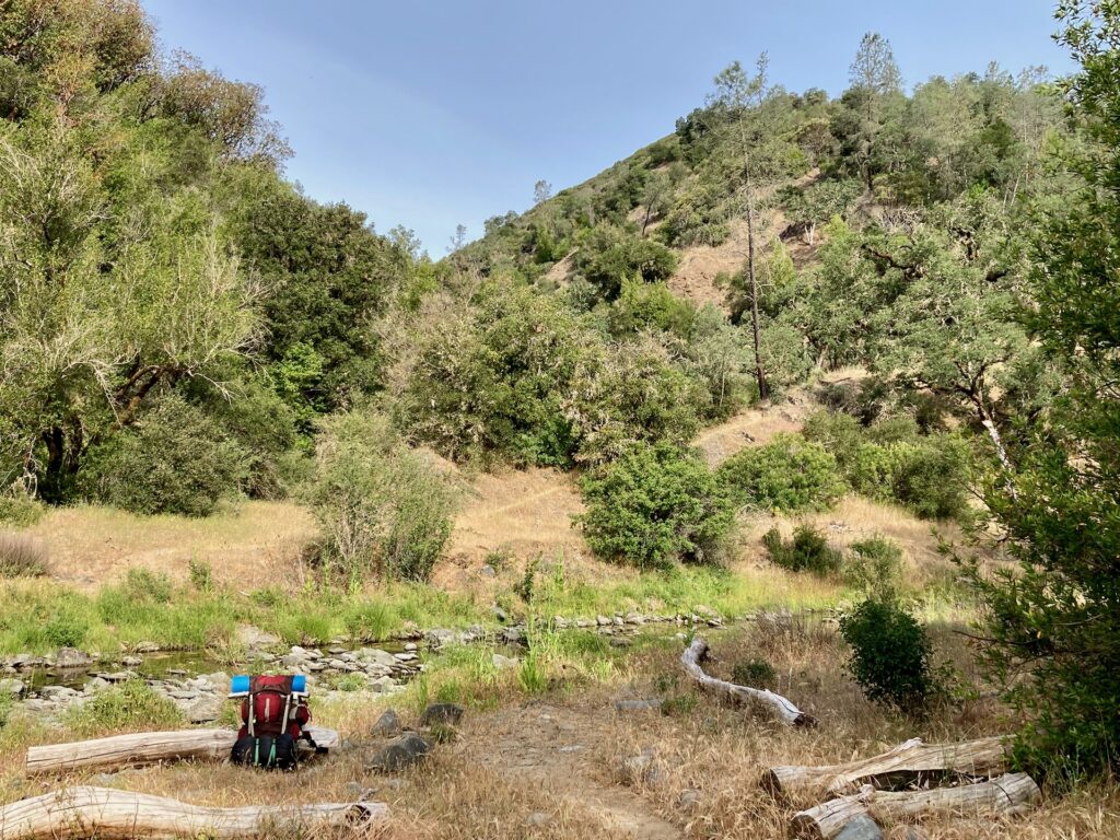
At about twenty past eight, suddenly I heard the sound of running water, and then rounding a bend I could see the Middle Fork of Coyote Creek. After crossing the creek, I dropped my pack, and spent half an hour resting. An Anna’s Hummingbird buzzed close to my head, and lots of other birds were singing in the brush along the water. A female Wood Duck was startled when I walked too close to her, and flew low along the water to another hiding place.

Poverty Flats Road climbs fairly steeply up from Coyote Creek, rising about 800 feet in a mile and a half. I took my time, pausing frequently to look at flowers, or to admire the view of Middle Ridge across the valley of the Little Fork of Coyote Creek. A couple of state park trucks drove down the road; those were the only two people I saw for most of the morning. Then once I got to the junction of Forest Trail and Corral Trail, at about 11:45, I passed several groups of people — dayhikers and backpackers starting the Memorial Day weekend early.
At ten past noon, I arrived back at park headquarters. While I ate my lunch, I talked with one of the park rangers. Then it was time to head home before the Memorial Day traffic got bad. And as I drove north up Highway 101 to San Jose, I could see that it was already stop-and-go traffic headed south.
